
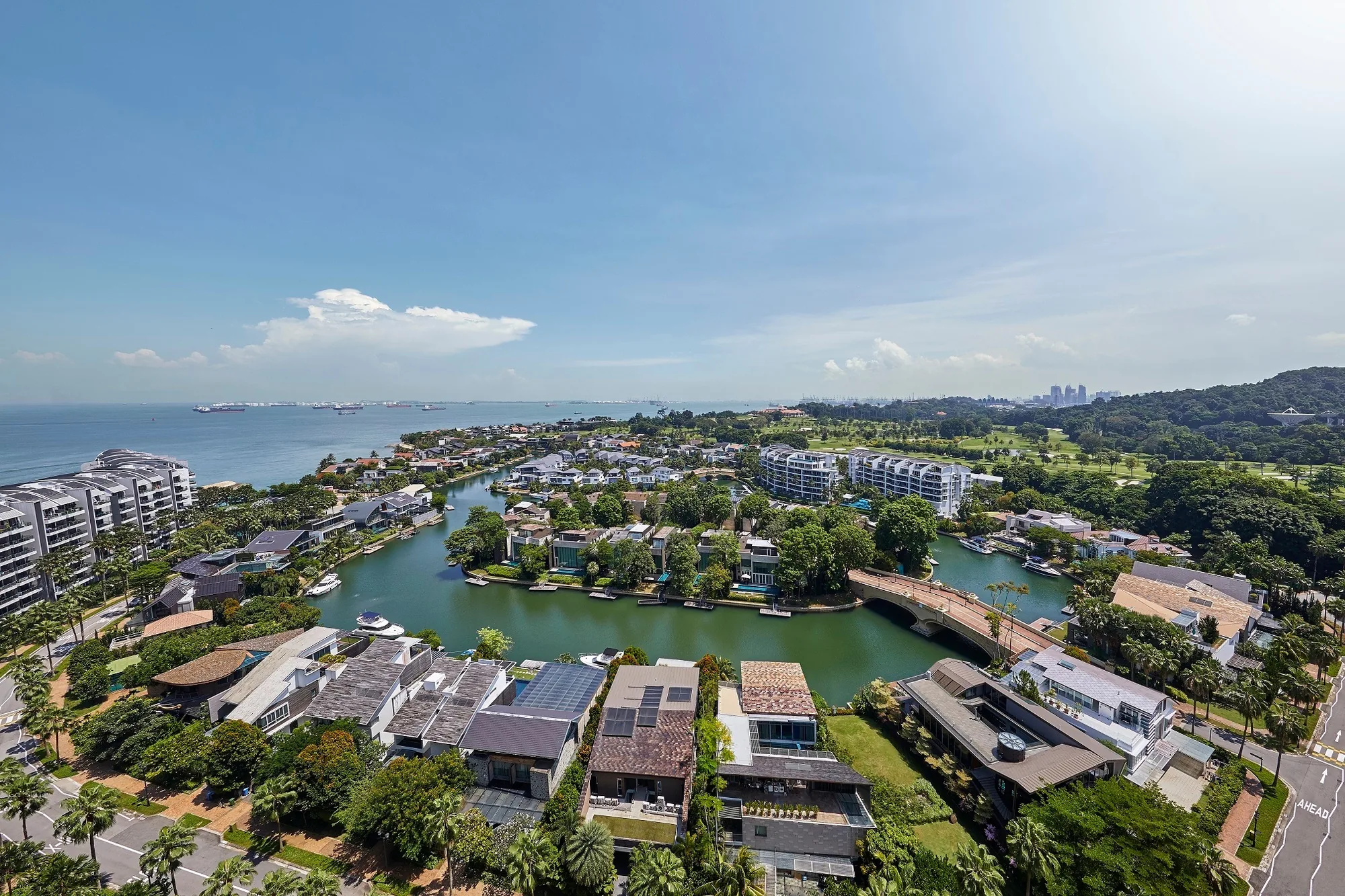
 Photograph
Sentosa is joined to the main island at HarbourFront, and the stretch of coast on the far side of that link is changing. This guide looks across the water from Cape Royale to the Greater Southern Waterfront, Keppel Bay and the green ridges behind them.
The Greater Southern Waterfront Seen from Cape Royale
The developer’s location map gives a whole panel to the Greater Southern Waterfront. Its brochure describes an area of around 2,000 hectares stretching from Marina East to Pasir Panjang, to be redeveloped once all the port terminals have moved to Tuas, with lifestyle enclaves, coastal promenades, an extension of the Central Business District and new commercial areas that bring workplaces closer to home.
For a resident of Cape Royale, that coast is the near horizon. The rear outlook of the towers runs over Sentosa Cove and the island to the city, and the change on the mainland waterfront is what a buyer looking a long way ahead is buying into.
Keppel Bay, about 3.5 km.
HarbourFront, Keppel Bay and the Southern Ridges lie just beyond the Sentosa Gateway from Cape Royale.
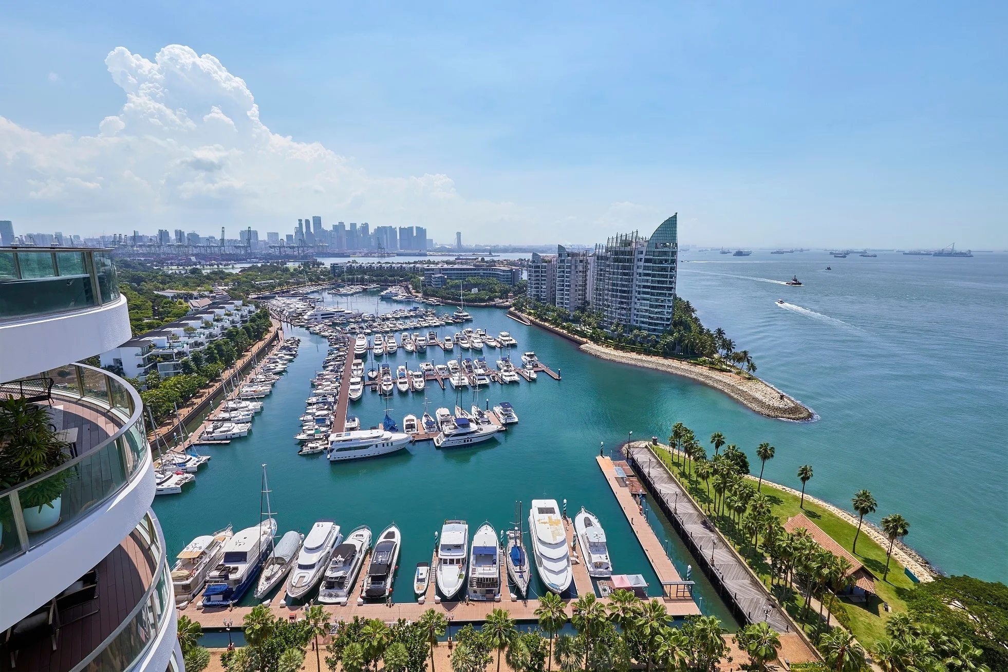
Keppel Bay and HarbourFront from Cape Royale
The nearest part of that waterfront is Keppel Bay and HarbourFront, reached over the Sentosa Gateway. Keppel Bay Tower is about 3.5 kilometres from the site in a straight line on OneMap, the Marina at Keppel Bay about 3.9 kilometres and the Caribbean at Keppel Bay about the same. VivoCity and HarbourFront MRT station, the island’s link to the North East and Circle Lines, are about 3.2 and 3.3 kilometres away.
| Place | Straight line from the site |
|---|---|
| VivoCity | about 3.2 km |
| HarbourFront MRT station (NE1 / CC29) | about 3.3 km |
| Keppel Bay Tower | about 3.5 km |
| Marina at Keppel Bay | about 3.9 km |
| Mount Faber | about 4.0 km |
| Henderson Waves | about 4.7 km |
| Labrador Nature Reserve | about 5.0 km |
Measured on OneMap (SLA) from the site, 27 October 2026; routes on foot or by road are longer.
The Southern Ridges and Labrador Within Reach of Cape Royale
Behind HarbourFront the land rises to Mount Faber, about 4.0 kilometres away, the start of the Southern Ridges, whose Henderson Waves bridge is about 4.7 kilometres from the site. To the west, Labrador Nature Reserve, about 5.0 kilometres away, keeps a stretch of the old coastline wooded. Together they give the south of the island a green spine within a short drive of Sentosa Cove.
Reading the Developer’s Location Map for Cape Royale
The location page shows the developer’s map, which sets Cape Royale at the eastern tip of Sentosa with the Sentosa Gateway, HarbourFront and the Greater Southern Waterfront across the water, and lists every distance from the site.
Book a Cape Royale Viewing Appointment
The Sales Concierge sends the price list on request, the homes still open for selection and the e-brochure for Cape Royale. Showflat viewings are arranged by appointment through the Sales Concierge.