
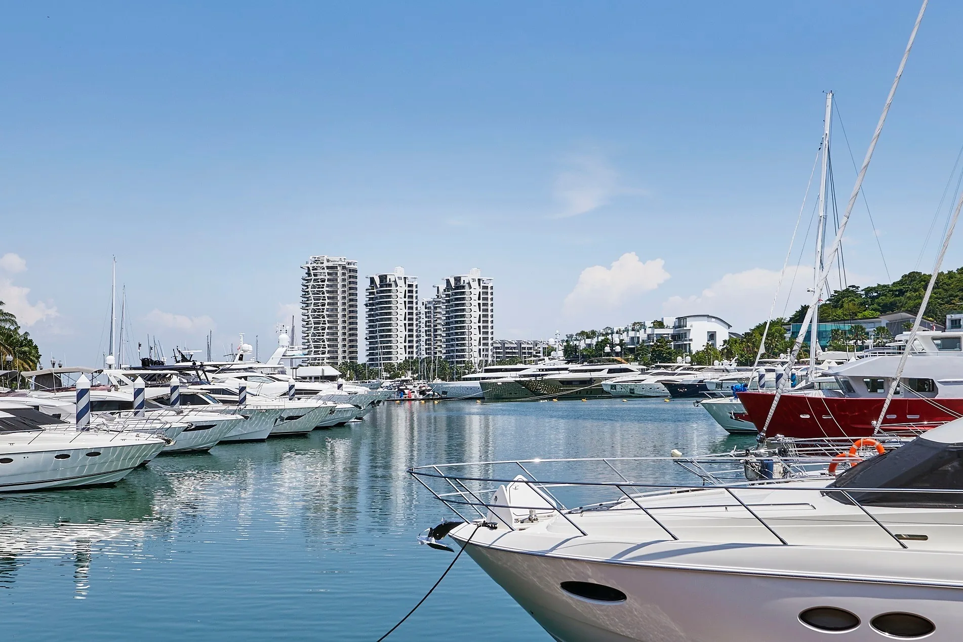
 Photograph
The Nearest MRT Station to Cape Royale
HarbourFront, an interchange on the North East and Circle Lines, is the closest MRT station to Cape Royale, some 3.3 kilometres away as the crow flies. By car it is about 4.8 kilometres and roughly 12 minutes on Google Maps, along Allanbrooke Road and over the Sentosa Gateway.
No MRT station is within walking distance of Sentosa Cove, so households at Cove Way plan around the car for longer trips and around a short walk or the resident buggy inside the cove. The rest of this article sets out each part of that pattern with the distances measured from the site.
Sentosa Cove is at the far eastern end of the island and the Gateway leaves Sentosa from HarbourFront, so every road route is longer than the straight lines in the tables below.
Driving from Cape Royale over the Sentosa Gateway
Sentosa is joined to the main island by the Sentosa Gateway, the road bridge at HarbourFront, and every car journey from Cove Way starts by crossing it. Google Maps gives about 4.8 kilometres to HarbourFront MRT station and 8.5 to 9.3 kilometres to Raffles Place by road, the range depending on whether the route follows Keppel Road or stays on the Gateway.
According to Ho Bee Land’s project page, a drive of around ten minutes reaches Orchard Road or the Central Business District. Closer to home, the brochure times the run to Sentosa Golf Club at six minutes and to Tanjong Beach at seven. The guide to driving in over the Sentosa Gateway covers the route in more detail.
| Trip | Time given | Source |
|---|---|---|
| ONE°15 Marina on foot | about 7 minutes | developer’s brochure |
| Quayside Isle on foot | about 13 minutes | developer’s brochure |
| Sentosa Golf Club by car | about 6 minutes | developer’s brochure |
| Tanjong Beach by car | about 7 minutes | developer’s brochure |
| HarbourFront MRT by car | about 12 minutes | Google Maps, 27 October 2026 |
| Orchard Road and the CBD by car | about 10 minutes | Ho Bee Land’s project page |
Journey times as stated by each source; traffic changes them.
Rail Links Within Reach of Cape Royale
Rail is reached in two steps. The island has its own monorail, the Sentosa Express, linking VivoCity with stops such as Beach Station, roughly 2.6 kilometres from the towers; pedestrians can also cross to VivoCity along the Sentosa Boardwalk. On the mainland, HarbourFront connects to the North East and Circle Lines.
| Station or link | Straight line from Cape Royale |
|---|---|
| Beach Station (Sentosa Express) | about 2.6 km |
| Sentosa Boardwalk | about 2.6 km |
| VivoCity | about 3.2 km |
| HarbourFront MRT (NE1 / CC29) | about 3.3 km |
| Tanjong Pagar MRT (EW15) | about 3.9 km |
| Telok Blangah MRT (CC28) | about 4.6 km |
| Raffles Place MRT | about 4.9 km |
Straight lines measured on OneMap (SLA) from the Cape Royale site; a route on foot or by car is always longer.
Tanjong Pagar and Raffles Place are closer to the site in a straight line than their road distances suggest, because the sea lies in between. In practice they are reached by road over the Gateway.
Just beyond the Gateway lie the places most residents use every week. VivoCity lies around 3.2 kilometres off as the crow flies, Keppel Bay Tower roughly 3.5 kilometres, the Marina at Keppel Bay close to 3.9 kilometres, and Singapore General Hospital around 4.2 kilometres. Each of them is reached over the same bridge.
Getting Around Sentosa Cove from Cape Royale
Within the cove everything is close: roughly 500 metres to ONE°15 Marina and 600 metres to Quayside Isle, which the brochure turns into walks of seven and thirteen minutes, and it mentions a residents-only buggy serving both.
Everyday shopping, the brochure suggests, is at Sentosa Arrival Plaza, some ten minutes’ walk away. The Cape Royale location page lists every distance from the site, on the island and across the water.
For a day out on the island, Capella Singapore is about 1.9 kilometres from the site, Palawan Beach roughly 2.1 kilometres and Universal Studios Singapore around 2.5 kilometres.
Planning the Week from Cape Royale
A typical pattern at Cape Royale is the car for work, school and the city, and the buggy or a walk for the marina, dinner at Quayside Isle and an evening by the water. Families comparing school runs can use the international schools guide for Cape Royale, which measures each campus from the site.
Residents park underground, in the basement car parks. The Sales Concierge can go through access and parking at a Cape Royale viewing appointment, and sends the price list on request. Showflat viewings are arranged by appointment through the Sales Concierge.
Journey times to the city and to school depend on the traffic at HarbourFront, since every trip off the island shares the same bridge.
General information as at the date shown, not financial, legal or tax advice. Cape Royale particulars are taken from the developer’s published factsheet, brochure and plans; statutory figures repeat this site’s financing pages and the IRAS, MAS and SLA pages read on the date given. Sources: OneMap straight-line distances and Google Maps road routes measured on 27 October 2026, the developer’s brochure (walking and driving times, buggy) and Ho Bee Land’s project page, as set out on this site’s location and getting-in pages.
Ask the Sales Concierge about Cape Royale
The Sales Concierge sends the price list on request, the homes still open for selection and the e-brochure for Cape Royale. Showflat viewings are arranged by appointment through the Sales Concierge.